I made an app
I made an app. It combines my two seemingly least related personal interests: programming and moose hunting. In my day-job I have made small prototype apps and contributed on some bigger projects, but this is the first app I made from scratch all by myself.
The app is very simple – it shows where you and your hunting buddies are in real time on a map. By itself this is far from unique. However, when I was looking for something like this I couldn’t find any apps that let you do this with decent Norwegian terrain maps. So, I took matters into my own hands.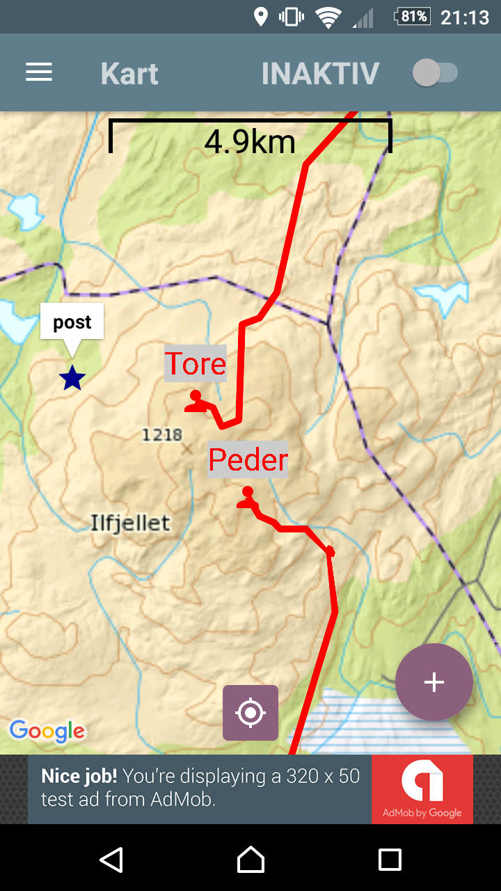
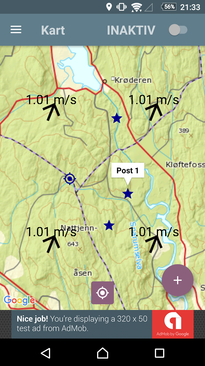
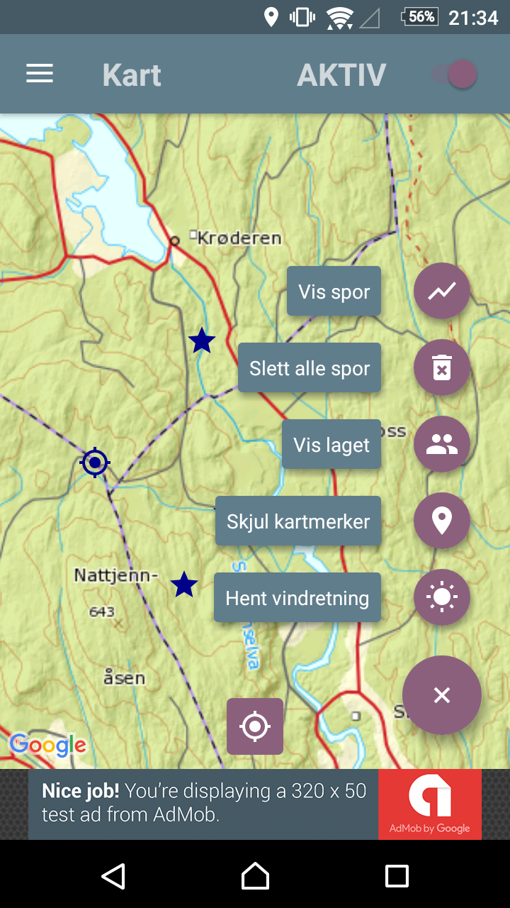
I dislike having to create accounts and remembering passwords when you shouldn’t have to. My app requires none of these things. The first person to start a team chooses a unique team name. A short code is then generated for you that you can share to anyone who wants to join the team. From there on it is very simple: once the big “active” button is turned on, you periodically transmit your last known location and any landmarks you have added via an encrypted connection to my server. You also download the corresponding information for your team mates. As a bonus, I have also added a feature showing the current wind speed and direction.
A keen observer will notice I put an ad bar in at the bottom of the screen. The market of tech-savvy Norwegian moose hunters is limited enough that I am under no illusions I will make money of this, but my hope is that if traffic gets to the point that my Raspberry Pi 3 (my current server) can’t handle it then the app bar will bankroll AWS costs.
The app is currently in open beta, which means you have to actively opt in to test it, but anyone clicking the link below can do it. The app is Android only, meant only for the Norwegian market as it uses Norwegian maps and is, well, in Norwegian.